Description
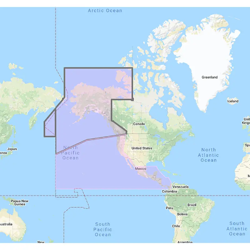
US & Canada Pacific Coast, Hawaii, Alaska, Mexico to Panama – C-MAP Mega Wide Chart
**SYSTEM ID REQUIRED TO RECEIVE UNLOCK CODE**
C-MAP Mega Wide Chart – U.S. & Canada Pacific Coast, Hawaii, Alaska, Mexico to Panama. Vector charts, 3D data & standard resolution satellite photos.
This Chart Pack includes vector charts, 3D data and standard resolution satellite photography for the US and Canadian Pacific Coast, Hawaii, Alaska, and Mexico to Panama. C-MAP chart data is used and converted to the TimeZero format.
These C-MAP charts are comprised of the same cartographic chart information found in C-MAP MAX and C-MAP MAX PRO charts.
Explore more from our collection.
![Furuno Mm3 Vector Chart Unlock Code: U.S. East Coast, Bahamas & Bermuda (Standard Res + Satellite Imagery) [Mm3-Vna-022] 1](https://peakoutdoor.shop/wp-content/uploads/2026/06/furuno-mm3-vector-chart-unlock-code-u-s-east-coast-bahamas-bermuda-standard-res-satellite-imagery-mm3-vna-022-1.webp)
![Furuno South America Vector Chart Pack – West Coast Coverage (Costa Rica To Falklands) [Mm3-Vsa-500] 1](https://peakoutdoor.shop/wp-content/uploads/2026/06/furuno-south-america-vector-chart-pack-west-coast-coverage-costa-rica-to-falklands-mm3-vsa-500-1.webp)
![Furuno Vector Chart Unlock Code – Atlantic Coast, Gulf Of Mexico, Caribbean, Bahamas & Central America (Us/Canada) [Mm3-Vna-033] 1](https://peakoutdoor.shop/wp-content/uploads/2026/06/furuno-vector-chart-unlock-code-atlantic-coast-gulf-of-mexico-caribbean-bahamas-central-america-us-canada-mm3-vna-033-1.webp)
Reviews
There are no reviews yet.